AlphaEarth Foundations
Chris Messina
created: July 31, 2025, 11:22 p.m. | updated: Aug. 5, 2025, 6:33 a.m.
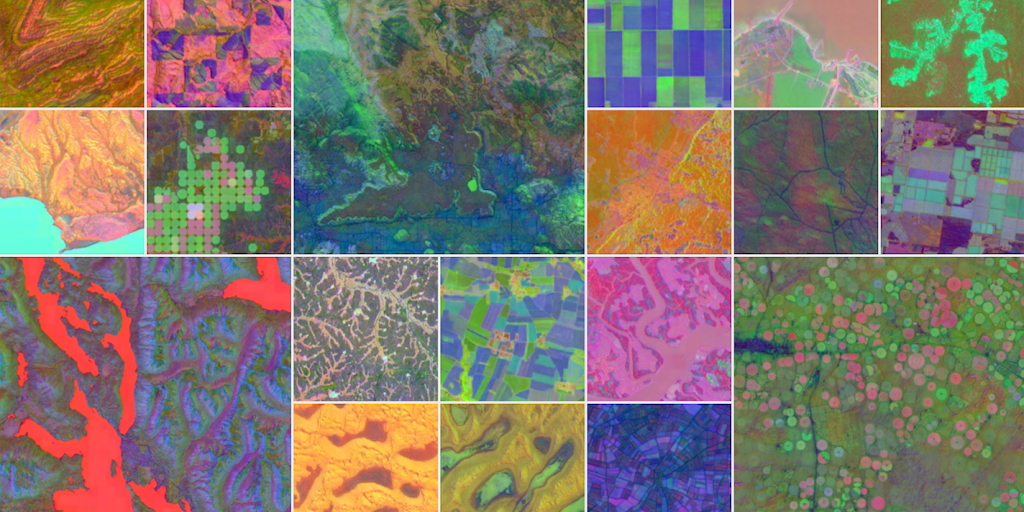
New AI model integrates petabytes of Earth observation data that stitches together data from actual satellite images, radar, climate simulations, and more to map Earth’s land and coastal waters.
4 months, 3 weeks ago: Product Hunt — The best new products, every day